Welland Valley – Red Route
9 miles (14.7 Km)
The walk has fantastic views of Ketton Quarry and across the Welland valley. It passes through two counties Rutland and then Northamptonshire, and also passes very near Lincolnshire and Cambridgeshire. The route includes parts of several longer-distance footpaths including the Jurassic, Macmillan, Hereward and St Bernards Ways and the Rutland Round, so there are plenty of opportunities to head off on any of these longer walks. A Vision of Britain through Time shows what the area was like in the past.
Starting at Ketton at about 10am gets you to Easton on the Hill for a bite to eat, either at the Birch Tree Cafe or The Bluebell Inn, followed by a gentle walk downhill back to Ketton.
Beginning at Ketton Hub, walk along the High Street to the village shop and follow the Yellow Route by taking the public footpath uphill from there through the new housing development, passing over the quarry workings via the pedestrian footbridge and continuing uphill with good views of the quarry workings on the right hand side.
1 Around Quarry
At the top of the long ridge path by the side of the quarry, turn right onto a footpath bounded on both sides by hedges.
This footpath forms part of the long distance St Bernards Way which runs for nearly 1000 miles from Rievaulx Abbey in Yorkshire to Citeaux Abbey south of Dijon in France. A hedge planted about 20 years ago screens the quarry. The wide footpath is also bordered in the dip by a mass of ash seedlings, unfortunately all infected with Ash Dieback.

2 Shacklewell Hollow
Continue along the bridleway around the quarry.
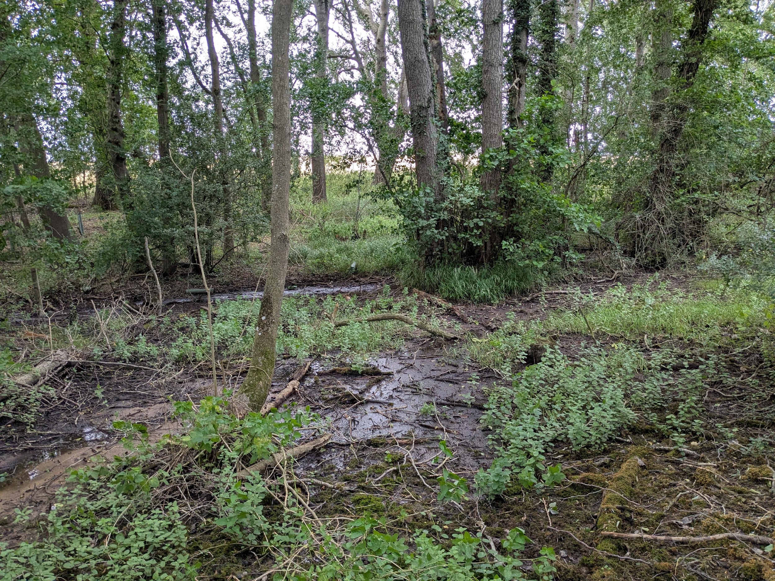
A new quarry access road is planned to cross from the farmland to the north into the existing quarry. Shacklewell Hollow is a Site of Special Scientific Interest (SSSI) with a spring feeding a wet woodland, ponds and a rushy marsh leading to a small tributary of the river Gwash. This river was beloved of the poet John Clare, who lived and worked for a time in Great Casterton.
3 Scouts Campsite
Turn sharp right and continue around the quarry.
As the footpath turns sharp right ahead is the Shacklewell Hollow Campsite which is run by the Stamford & Bourne Scouts. Up the slope on the left and through the metal gate is the footpath to Empingham. Through the hedge to the right are arable fields newly restored from the quarry. On the left the hedgerow is lined with some old “veteran” oak trees, and a ditch. Many hedgerow ditches are not maintained so fields do not drain so easily or quickly.

4 Wiggly Path
Follow the path and join a farm track to Steadfold Lane.
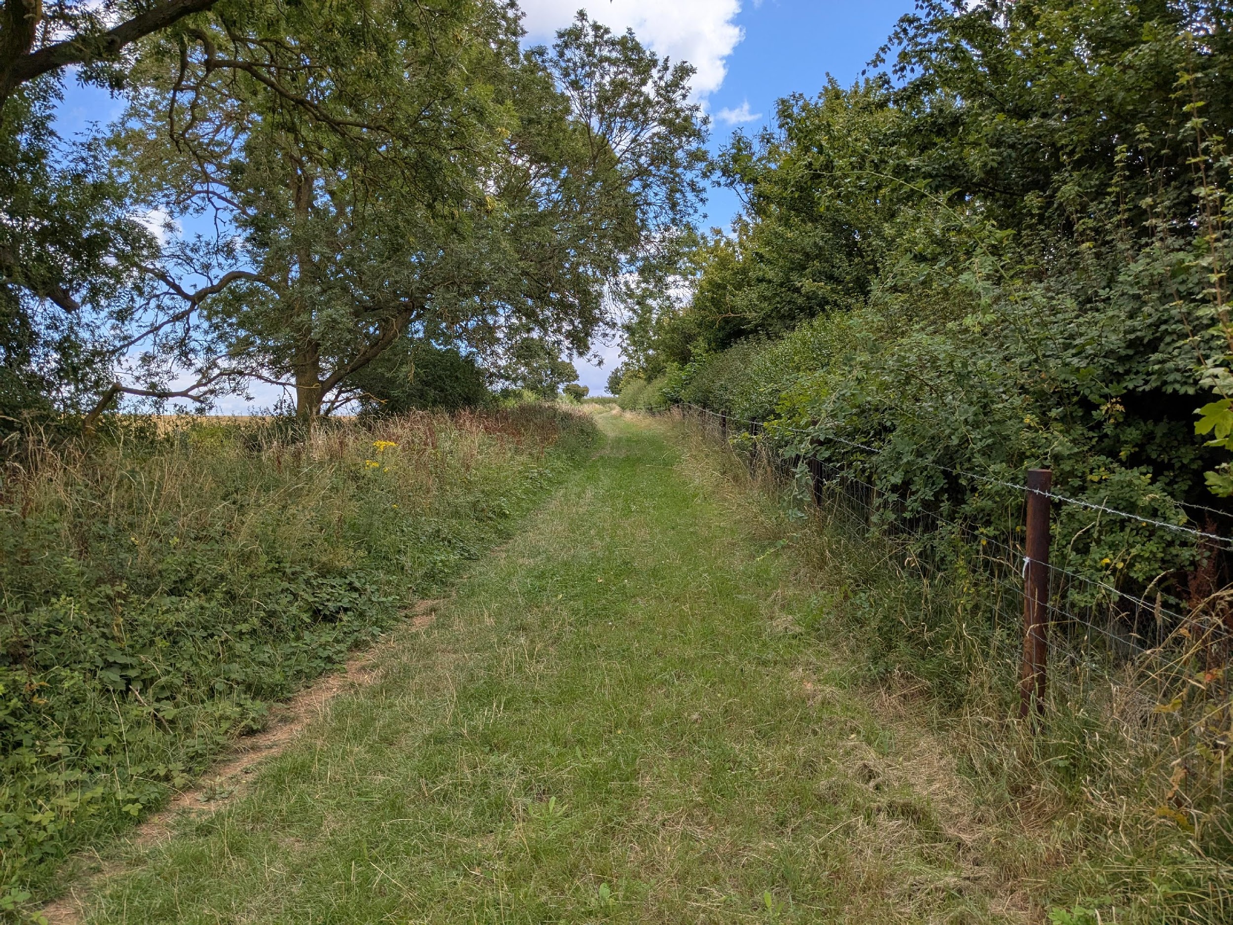
In winter this path is wet because of the Lias clay over the limestone. The clay clearly shows the deer and horse footprints. The path has many right-angled bends because of smaller old fields on the left where the hedges have been removed to provide larger fields for the larger farm machinery. At a gateway there is a view across a large restored area of the quarry. As you near the arable fields at the top the communications mast is visible on the high ground to the left. The church tower of Easton on the Hill is also visible to the right of the farm buildings.
5 Tinwell Lodge Farm
Cross Steadfold Lane to Tinwell Business Park and walk through to the gateway immediately opposite.
Stamford and Burghley House Estate are visible on the horizon, as well as the similar perpendicular church towers of Easton on the Hill and Collyweston, and then further round to Gretton and Corby.

6 The Rookery
The path leads through a gate by an old farm pond. Rookery Lane leads down to Casterton Lane and Tinwell.
Many ponds have been in-filled or abandoned now that horses and cattle are much less common on local farmland. The large house to the left is The Rookery but the trees for the rooks have long gone. The verge is rich with limestone-loving plants and is now one of the many local Roadside Verge Reserves in Rutland and Lincolnshire.

7 Tinwell Forge
Casterton Lane leads down to Tinwell. It is best to cross the busy road opposite the church.
The Old Forge stopped working as a blacksmith’s premises in about 2015. The horseshoe arch over the entrance indicates both the trade and the county, with its downward facing horseshoe.

8 All Saints Church
Cross the churchyard and across a small pasture towards the former water mill and river.
There is an informative panel at the entrance to the churchyard. The church dates from the 13th century and has an unusual saddleback roof. In 2023, the church congregation returned a crucifix to the village of Doingt in northern France. The Tinwell vicar had picked up the cross in the First World War from the ruins of the church at Doingt following the Battle of the Somme.

9 River Welland
Cross the bridge and keep to the right along the footpath which may be overgrown.
The 65 mile long river marks the ancient boundary between Rutland and Northamptonshire. It drains part of the Midlands eastwards to The Wash. The river rises in the Hothorpe Hills, at Sibbertoft in Northamptonshire, then flows generally northeast to Market Harborough, Stamford and Spalding, to reach The Wash near Fosdyke. From here to Easton on the Hill is an old disused byway leading to West Street.

10 Railway Crossing
Follow the path to the railway, taking great care when crossing the track.
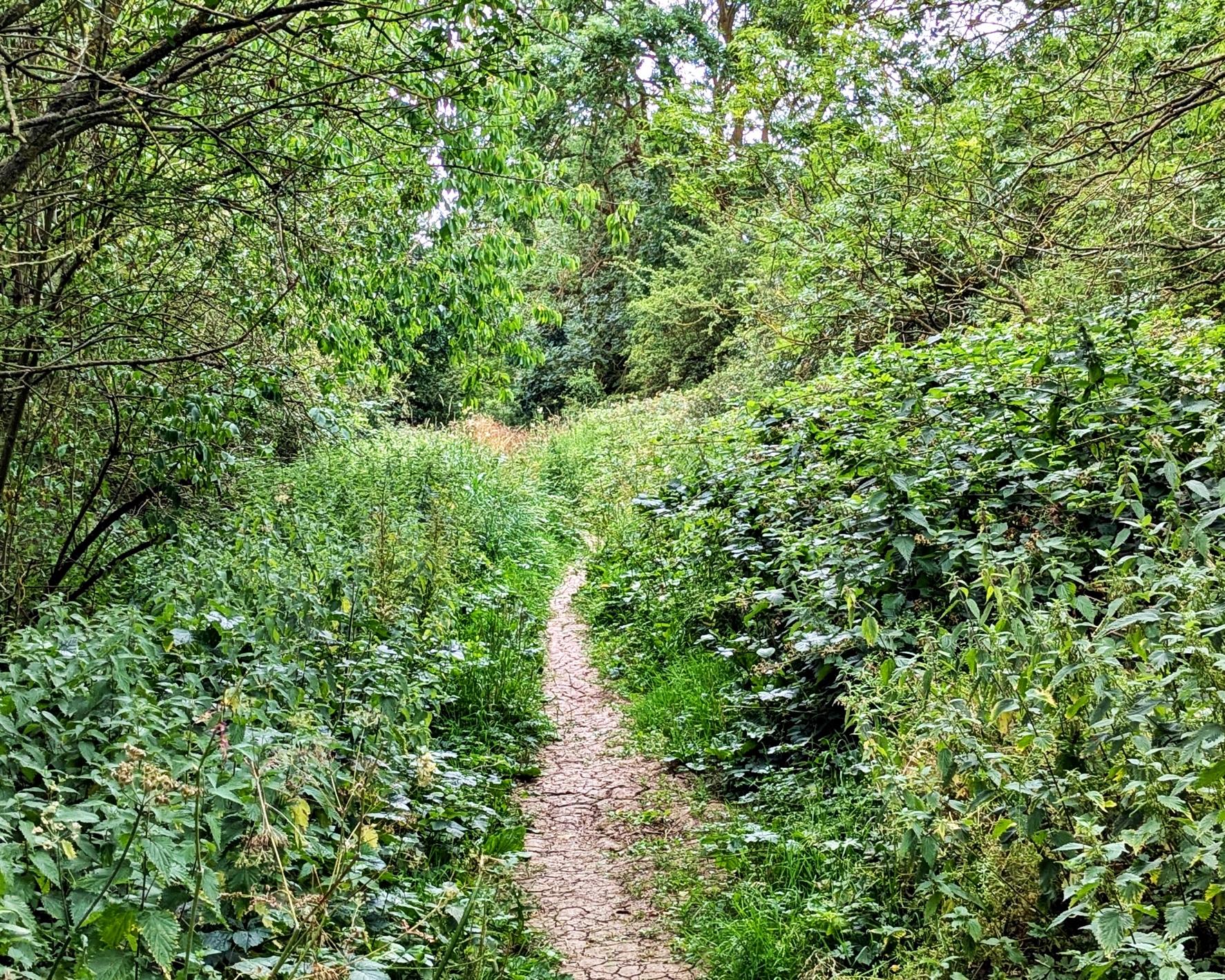
The path passes between sometimes overgrown hedges and ditches but was formerly a well-used byway for carts, and still legally for motor vehicles! It passes Peter’s Pond on the right, rich in frog spawn in the spring and dragonflies in the summer. All along the Welland valley are seasonally flooded water meadows. The railway line connects Birmingham to Stansted, with trains passing each way on the hour. Vehicles that need to cross the line have to phone the manned Ketton signal box – one of the few remaining in the Midlands.
11 Easton Hillside
Follow the path up Keepers Drift.
On the right is a ridge and trackway leading to an old iron works with its iron ore linked to the seam that goes to Corby. The path goes between Dottrell Hill Plantation and Home Wood. All the land on this scarp between Easton on the Hill and Collyweston is owned by the Burghley Estate. All the fields from Easton to Collyweston have isolated veteran oak trees in the fields which must have been part of an extensive woodland or wood pasture along the scarp.

12 Keepers Drift
Continue southwards steadily uphill as it becomes West Street.
The hedge on the right was laid in 2022. Hedges have been traditionally managed by laying every 10-20 years to stock-proof and regenerate them. Continual annual trimming over a long period of time can lead to deterioration, through gaps and hollow bottoms. The ornate Keepers Lodge was the gamekeeper’s house built by the Marquis of Exeter of Burghley Estate in 1845, with a carving of the coronet. The long row of Horse Chestnut trees are all pruned because the branches interfere with the electricity lines – perhaps the wrong trees in the wrong place!

13 Tank Road
Turn left along the farm track just before the allotments or alternatively to go straight to the Priest’s House (14) walk further along West Street and then connect with Church Street via The Lane.
Army tanks were strategically placed on this hillside during WW2, and there are good views across the river valley towards Stamford. The Easton on the Hill Labyrinth and Peace Garden serves as a new village amenity and a commemoration of all those villagers who fought in the two World Wars and other conflicts. The hill upon which Easton stands forms the watershed between the river Welland to the north and the river Nene to the south. The village is built on two small valleys at right angles to one another. Two streams arise from springs in the village and must have determined the choice of Easton as a site for settlement since good water supply is a basic requirement.

14 Priest’s House
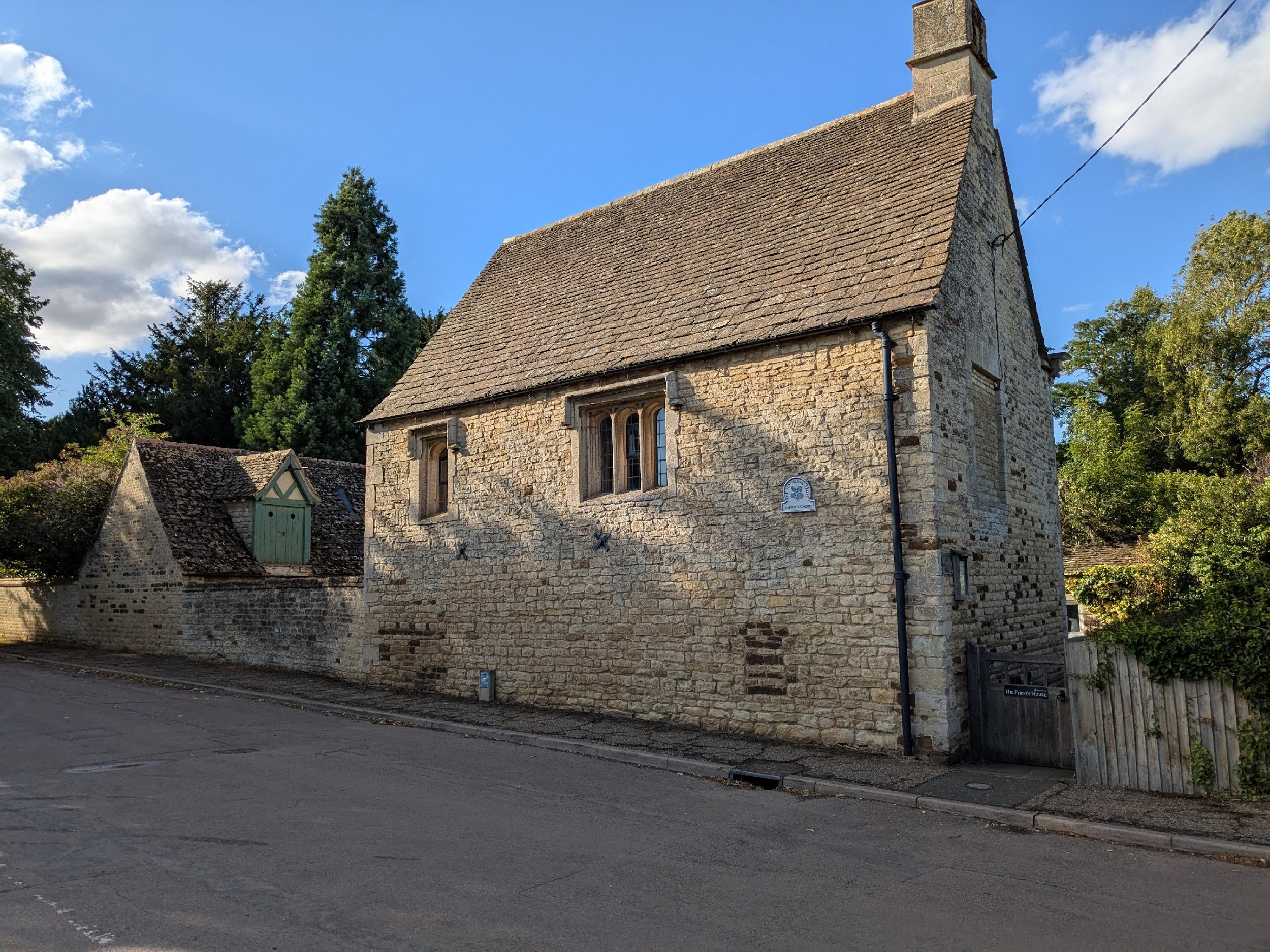
The Priest’s House is managed by the National Trust. It was built by John Stokes, Rector of Easton from 1456 until he died in 1495. He arrogantly left money in his will for a chantry priest to pray for his soul, which became illegal following the dissolution of the monasteries and the funds were appropriated by the Crown. The building contains many interesting architectural features.
15 All Saints Churchyard
Beyond the Labyrinth and Peace Garden turn right and pass the entrance to the churchyard and church leading to Church Street.
The flora and fauna in the large churchyard is stunning in spring and with the addition of nest boxes, managed trails, new meadows and information boards make it a very pleasant place to visit. The church is a Listed Grade I building and dates to the 13th century. If it is open, have a look at the pews, some of which still have the oak pegs where men used to hang their hats whilst at prayer. Look also for a tablet to the memory of Lancelot Skinner, a rector’s son who was lost at sea in the wreck of La Lutine in 1799. The ship’s bell was recovered & is based at Lloyds of London where it’s still rung when shipping insurance claims are made.
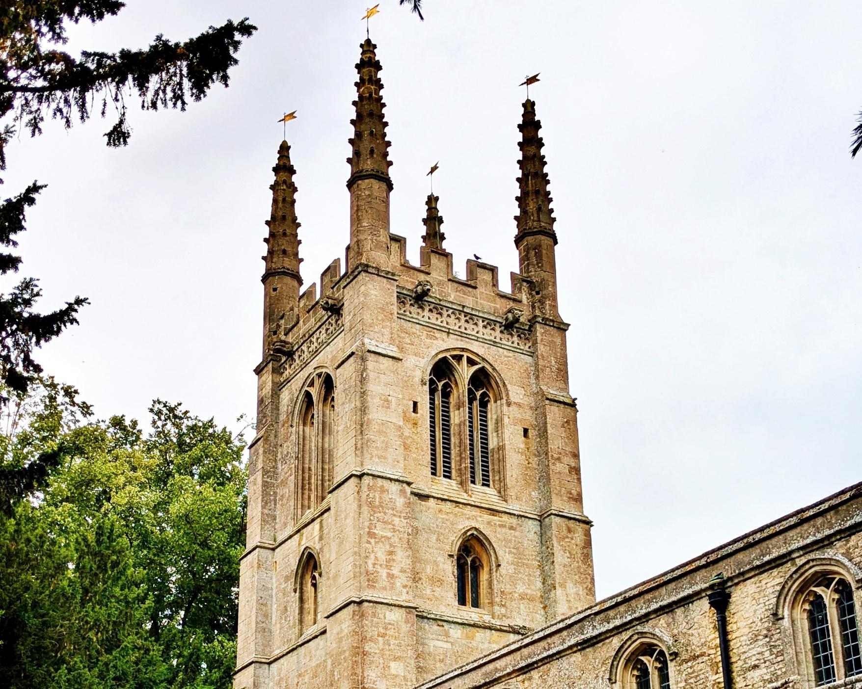
16 Church Street
Continue south along Church Street to the T-junction.
The turning to the left is Park Walk which leads by footpaths to the River Welland and Stamford Meadows. There are many notable houses built of limestone ashlar and Collyweston slate roofing including the Old Rectory, which was built in the 17th century, and the Manor House, which dates back to the 18th century. Over 40 of the buildings in Easton are listed, the oldest being the 15th century Priest’s House.

17 Lunch Stop
Turn right at the T-Junction.
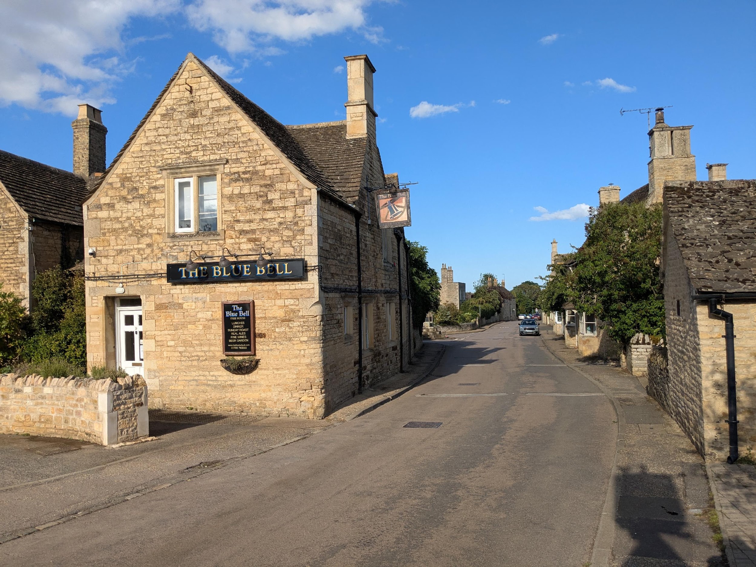
At the end of the street by the War Memorial is The Blue Bell pub serving wonderful lunches. The Birch Tree Cafe in New Road also serves tasty lunches. Although today it is a quiet village, if you’d have visited in the 1920s you’d have found a butcher, two blacksmiths, two carpenters, a wheelwright, an undertaker, a tailor, cobbler, barber, market garden and eight pubs!
18 Ketton Drift
Walk along Westfields leading to Ketton Drift.
This path is on the Jurassic Way and follows the mineral deposits of the Jurassic ridge in Northamptonshire and therefore also of the local iron ore, limestone and Collyweston slate quarries. There are good views back to the communications mast at the top of Steadfold Lane.

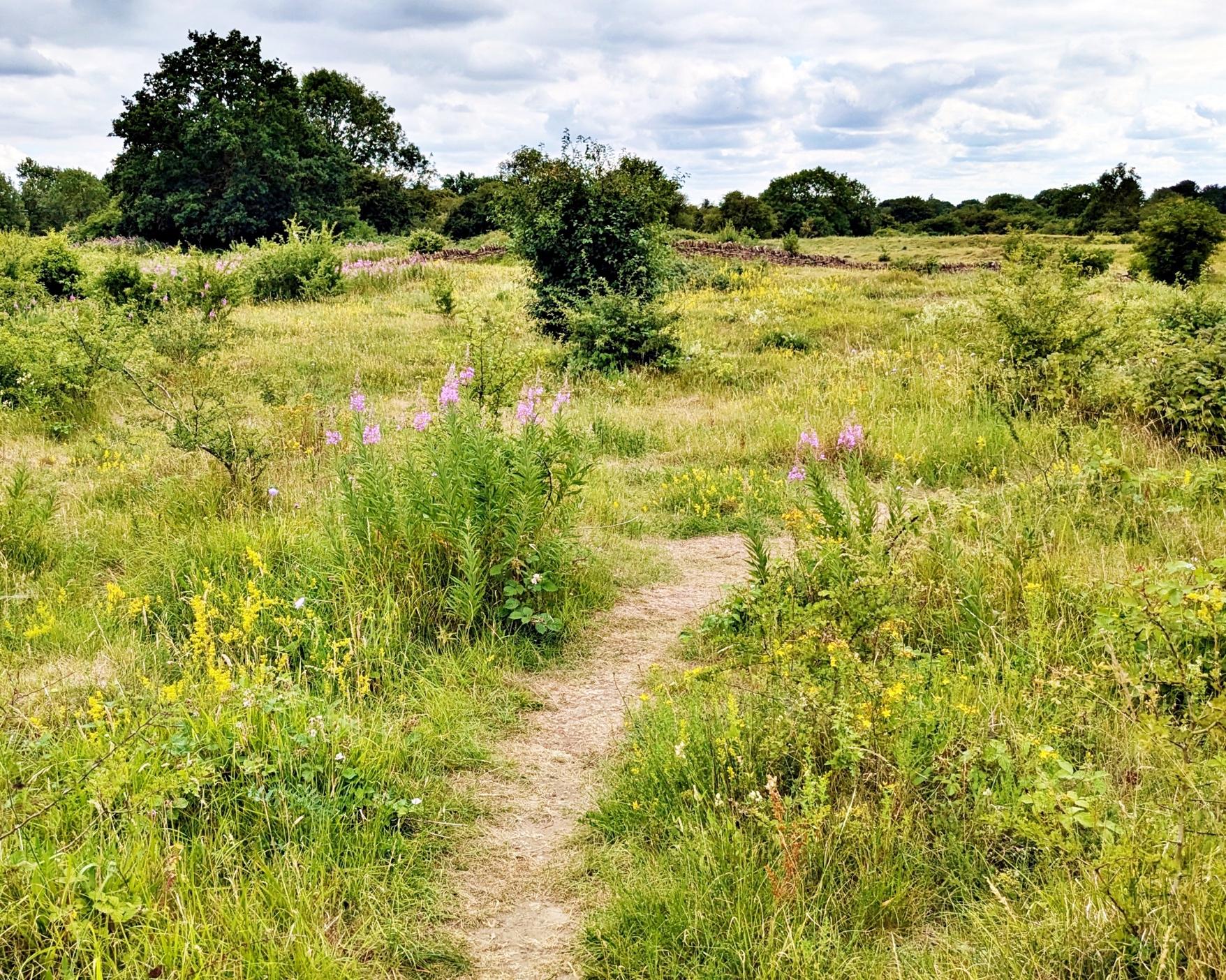
Continue along Ketton Drift, with a path to the left after the sports field taking you on a short detour to the Quarries.
This is another Site of Special Scientific Interest, leased to the Wildlife Trust for Bedfordshire, Cambridgeshire and Northamptonshire by the Burghley Estate. It was used for quarrying stone for roofing, building and lime burning. In midsummer the limestone grassland is aglow with the golden-yellow flowers of Common Rockrose, Common Bird’s-Foot-Trefoil and Dyer’s Greenweed – once gathered to produce a yellow dye, and the purple flowers of wild thyme, clustered bellflower, and knapweed.
Continue further along Ketton Drift.
In the past this side of the Welland valley was quarried in the same way that the opposite side is nowadays. Slate was mined and used in 28 different sizes ranging from 6 to 24 inches and had names such as Outrills, Mopes and Wibbets. They were split by hand with a cliving hammer, after freezing during the winter months. Lime kilns were used for burning limestone to make mortar. From here the four spires of Collyweston church look identical to the four spires of Easton on the Hill church.
21 Collyweston Bridleway
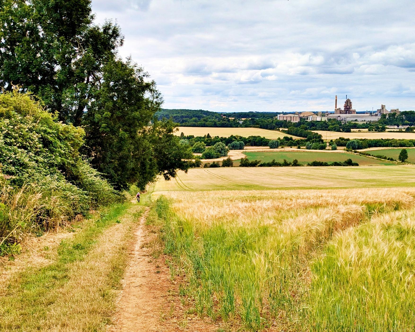
At the end of Ketton Drift the bridleway leads down the edges of several arable fields to a long farm track and on to Collyweston Bridge.
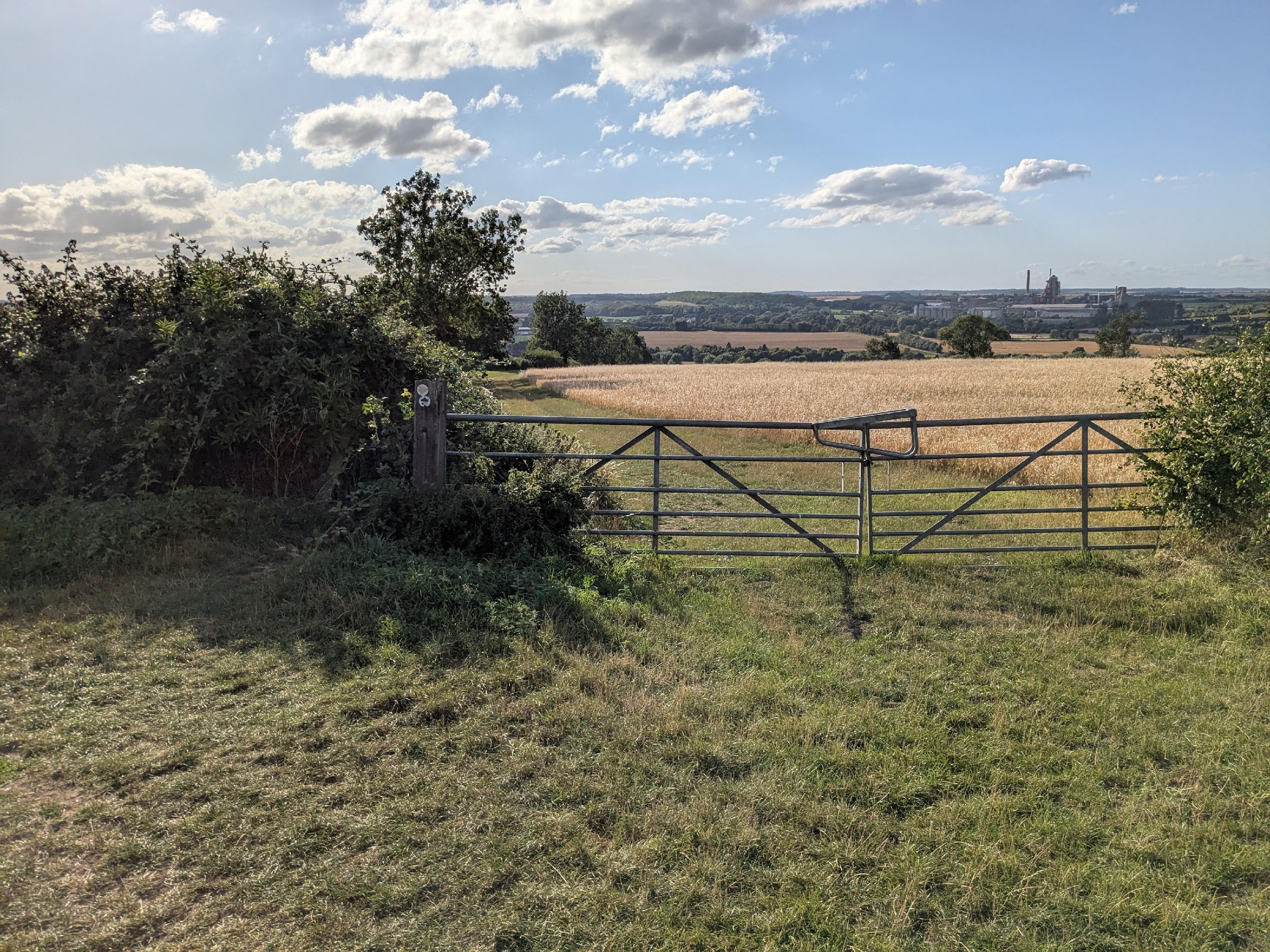
This is the best view of the huge cement works with its private goods train siding for carrying cement, and hence reducing road traffic.
22 Collyweston Bridge
Turn right and cross the bridge to follow Geeston Road into Ketton. Watch out for fast vehicles and take care as there is no pavement until you enter the village.
This bridge over the river Welland was originally medieval but rebuilt in 1620 – one of the six arches bears this date. Every autumn and winter the road and fields on either side flood. An old raised footpath was used in the past but now the floods are higher and more frequent. Geeston Road leads back to Ketton. In the second field on the left are some of Thomas Burroughes’s trees planting from a century ago – Japanese Zelkova, Black and English Walnuts, Holm Oak and Giant Sequoias.

23 Ketton
Geeston is part of the Ketton Blue Walk between the two rivers. So you could return to The Ketton Hub along part of this walk.